Warwick, RI — An arctic cold front is expected to move through the Warwick area on Jan. 7, plunging temperatures into the single digits and creating wind chills below zero, the National Weather Service announced.
The agency issued a Wind Chill Advisory and Hazardous Weather Outlook on Tuesday, covering Wednesday night into Thursday morning, when the coldest temperatures and highest wind speeds are expected.
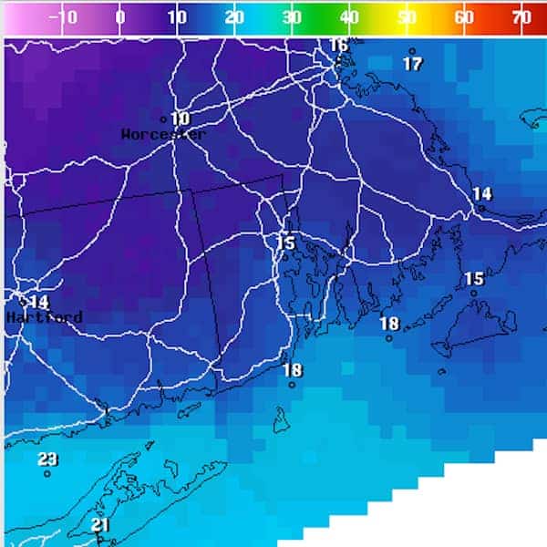
Forecasters estimate that wind chills could be as low as -24 overnight Wednesday.
There’s also a 20-percent possibility of local snow squalls during the day, according to the NWS.
Conditions like these could cause hypothermia and frostbite, the agency also reported.
The outlook for Thursday is for sun during the day, with the chance of snow developing late in the day and continuing through Friday, with temperatures both days in the upper 20s to low 30s.
Over the weekend, temperatures will climb back into the 30s with partly to mostly sunny conditions.
Keep an eye on possible delays at TF Green Airport by checking the arrival and departure schedule.
Several communities have set up warming centers for the public due to the extreme cold, including Warwick:
Pilgrim Senior Center
27 Pilgrim Parkway
Mon – Fri: 8:30 am – 4: 30 pm
Warwick Public Library
600 Sandy Lane
Mon – Thurs: 9 am – 9 pm
Fri – Sat: 9 am – 5 pm
Sun: 1 pm – 5 pm
Author: Joe Hutnak - editorjoe.warwick@gmail.com
Co-Founder and Editor-at-Large of Warwick Post. For Warwick Post-related inquiries or communications, email editorjoe.warwick@gmail.com
This is a test