 WARWICK, R.I. – If you’ve been wondering where in Warwick you can paddle your canoe or kayak, the Warwick Wildlife and Conservation Commission has you covered with five new Blueways Paddle Maps of Warwick waters.
Blueways maps are Water Trail maps for kayaks and canoes. The Warwick Comprehensive Plan recommends a preserved and enhanced park and open space system, and recommends that the City develop recreational Blueways Trail maps and enhance recreational opportunities in local waterways and adjacent open spaces.
Anne Holst, chair of the Warwick Wildlife and Conservation Commission, spearheaded the project with Commissioner Wayne Cabral after reading the recommendation of the Comprehensive Plan.
Warwick Historian and Commissioner, Henry Brown, wrote the history portion of the maps and Commissioner Carl Bergden worked on the mapping. The Warwick Wildlife and Conservation Commission are constantly striving to assist the Planning Department and the City to sustain a balance between residential and commercial development while maintaining the integrity of the City’s wildlife and other natural resources. This is an opportunity for the Commission to educate and engage residents on the local ecological environment, history and natural resources housed within the City.
“Warwick has 39 miles of beautiful coastline,” said Mayor Scott Avedisian. “I applaud the Wildlife and Conservation Commission for creating these maps to help showoff Warwick’s beauty, and making it accessible to all who wish to explore our unique ecological sites. It is because of the Commission’s dedication to the City and its natural beauty we are able to educate others about what makes Warwick so unique.”
The Paddle Maps can be found on the City Website under the Wildlife and Conservation Commission and cover the following paths:
- Greenwich cove to Sandy Point
- Sandy point up Greene’s River
- Pawtuxet Cove to Conimicut Point
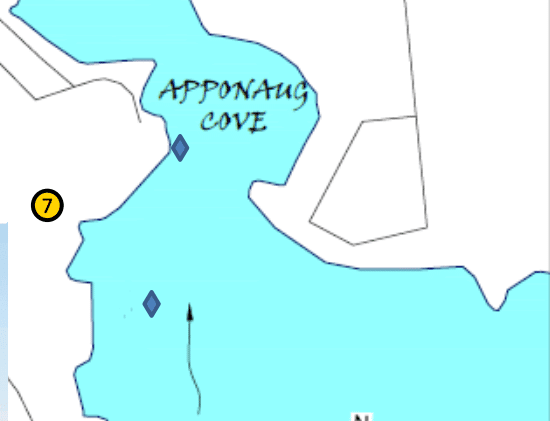
- Greenwich Cove to Apponaug Cove
- Warwick Cove to Apponaug Cove
The maps are also embedded below: greenwich_to_apponaug_42417_2 greenwich_to_sandy_point_42417_2 pawtuxet_to_conimicut_42417_2 sandy_point_up_greenes_river_and_return_42417_2 warwick_cove_to_apponaug_cove_42417_2
Author: Rob Borkowski
Rob has worked as reporter and editor for several publications, including The Kent County Daily Times and Coventry Courier, before working for Gatehouse in MA then moving home with Patch Media. Now he's publisher and editor of WarwickPost.com. Contact him at editor@warwickpost.com with tips, press releases, advertising inquiries, and concerns.
This is a test